
I lived in China for six months a few years ago, and that’s where my fond memories of Asia began. More recently, I’ve visited Japan three times in 16 months. Every time I leave, there are still plenty of things I want to come back for.
It’s difficult to explain exactly what keeps drawing me back. The food is a big part of it, along with the atmosphere, the beauty of the country, and how much there is to explore. Pokémon card shopping certainly helps too. There wasn’t one defining moment. It’s the combination of all those things, and the feeling that another visit would never quite be enough to see everything I’d like to.
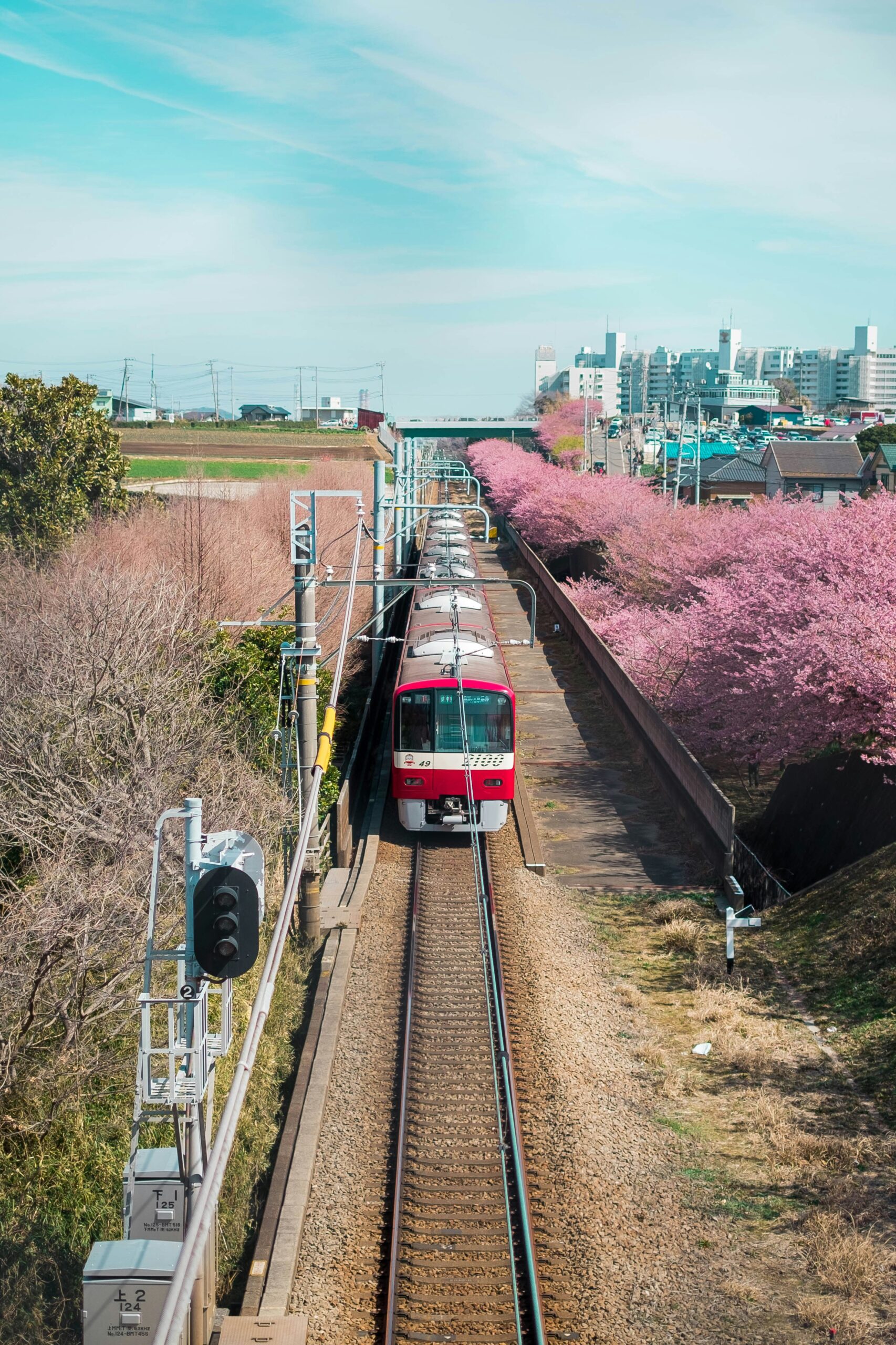
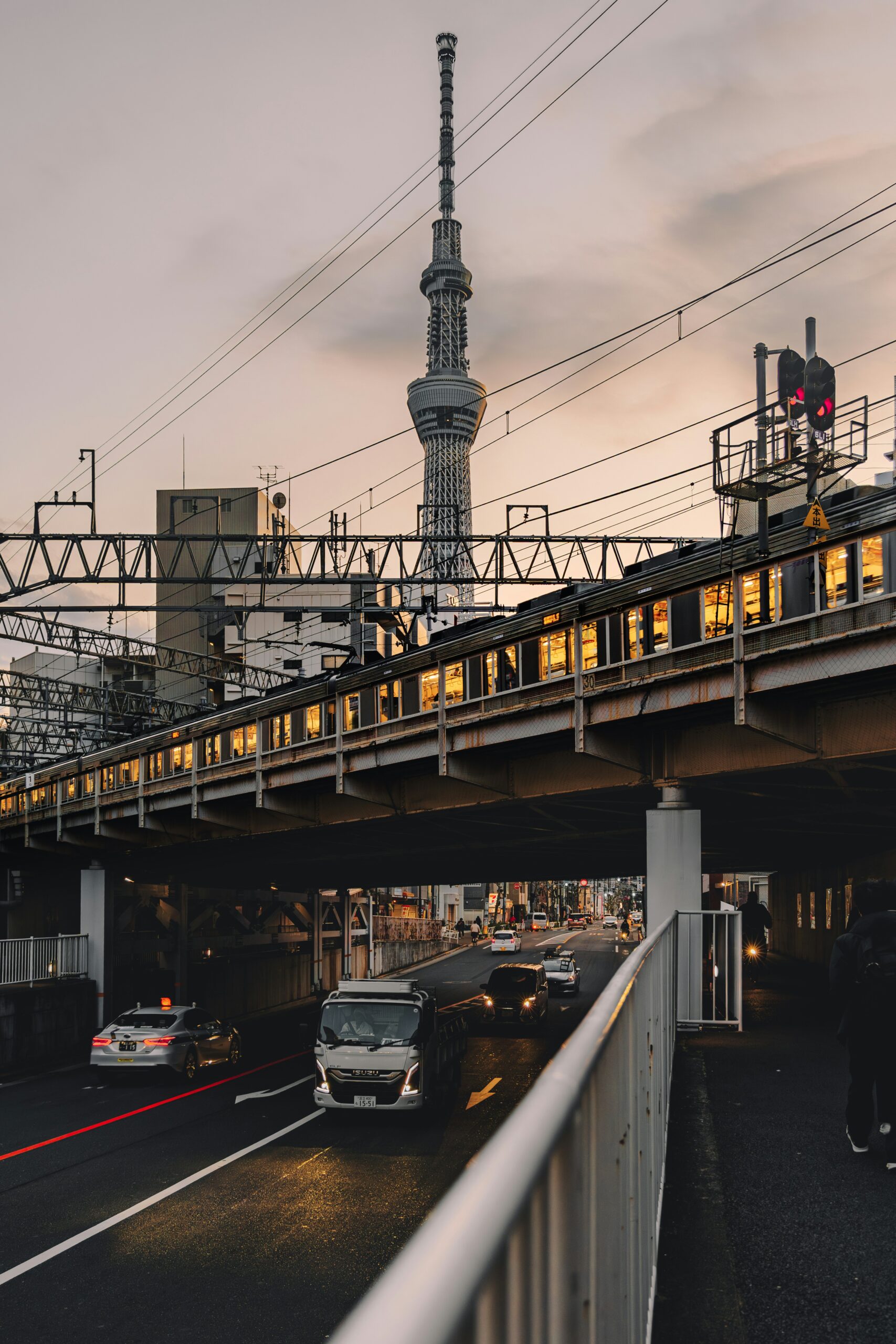
How I fell in love with Japan’s public transport, a beautiful puzzle
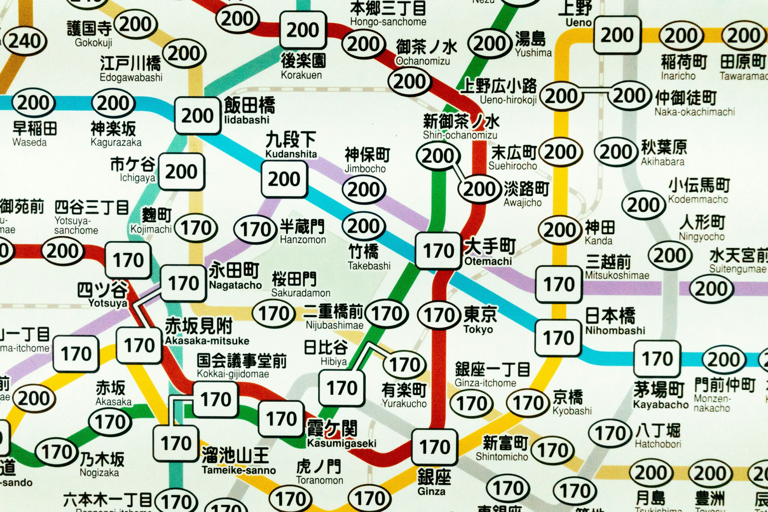
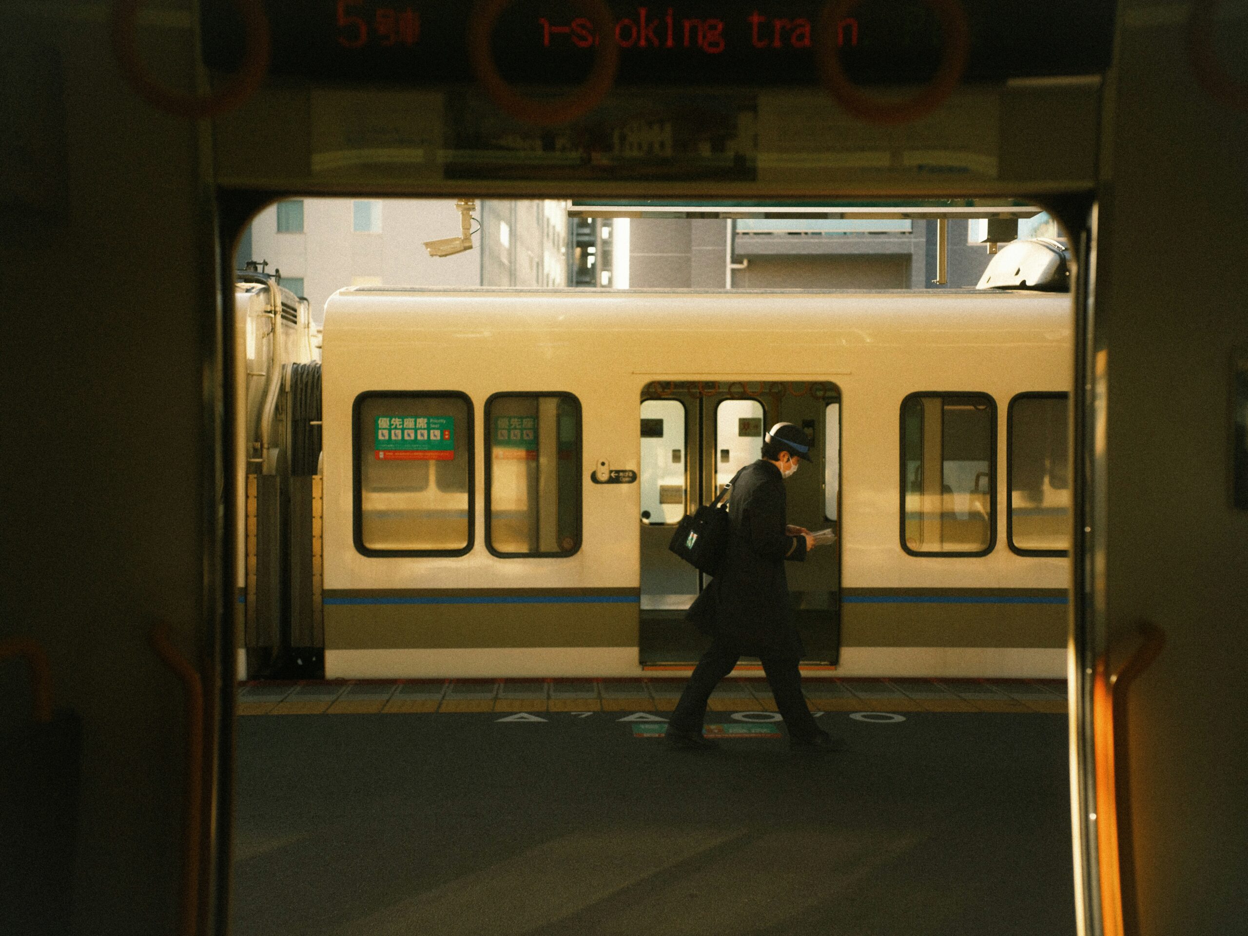
Tokyo’s public transport became a particular fascination. The size of the network is impressive, but its efficiency is what really interests me. So many lines and services run across this enormous city, helping people get on with their day. I wanted to understand how they fitted together, beyond whichever journey I happened to be taking myself.
The idea for Tokyo Glance came when I discovered Mini Tokyo 3D, a project that visualises the city’s transport on a map. Finding out that much of the underlying public transport data was openly available made me curious about what I could build with it.
The start of Tokyo Glance, my passion project
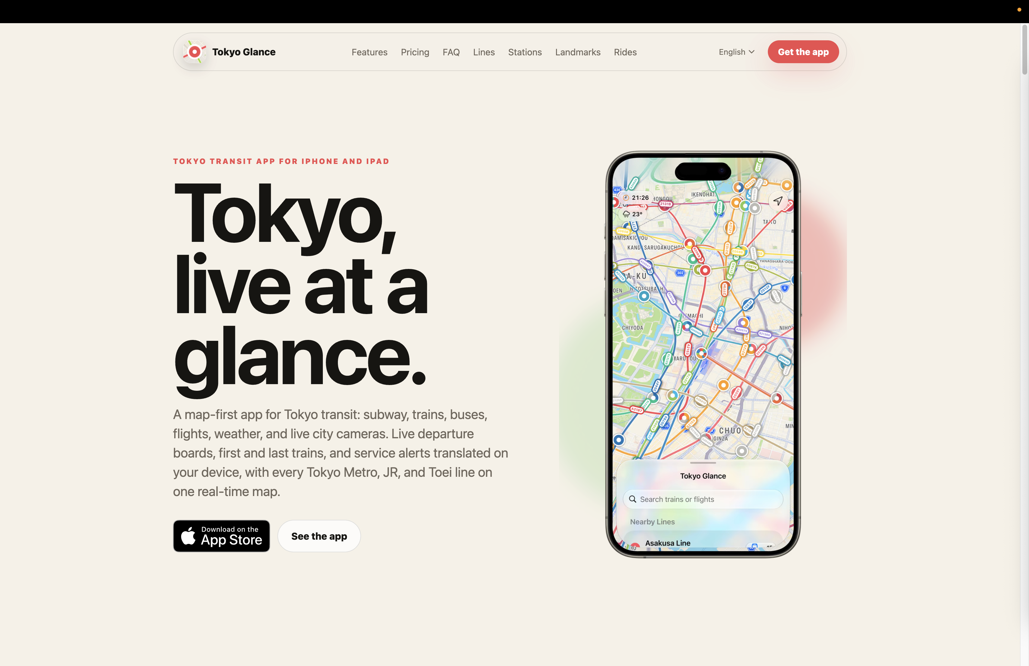
As an iOS developer, my first thought was that I could create a version that made the most of what Apple provides. I wanted it to feel natural on an iPhone and enjoyable to explore. There wasn’t a carefully worked-out business plan. I had found something that brought together my work and my interest in Japan, and I wanted to give it a go.
Tokyo felt like the obvious place to start. There is so much happening across its railway network that simply seeing it all together is fascinating. A map also helps put the city’s size into perspective. When planning a visit, you can collect a long list of places without really understanding how far apart they are. Seeing landmarks and stations together helps you work out which places make sense to explore on the same day.
Designed for visitors, used by locals — An unexpected reward
One challenge was getting all that movement to feel smooth on a phone while keeping the amount of data manageable. Having access to the data was only the beginning. Turning it into a clear, useful experience involved a lot of work behind the scenes. It was also important to distinguish live information from movement estimated using timetables, so people could understand what they were seeing.
Over time, I became just as interested in the practical details. I genuinely think there is value in making timetable information easy to access. First and last trains are a good example: they aren’t the most visually exciting part of the app, but they answer a question that matters when you need to get somewhere or get home.
The audience has surprised me. I put a lot of effort into international visitors, yet most users live in Tokyo and the surrounding prefectures. First and last train information is particularly well used. Seeing people who know the city much better than I do find something useful in the app has been one of the most rewarding parts of building it.
A reason to keep exploring
There is room for curiosity too. Scenic rides and nearby landmarks give people ways to explore beyond checking their next departure. That fits with what I enjoy about Japan myself: there is always somewhere else to discover, and the journey can be part of the enjoyment.
I build Tokyo Glance independently from the Netherlands as a side project. My hope is to keep making it useful for people who live in Tokyo while helping visitors understand and explore the city. It also gives me a way to stay connected to a place I enjoy between trips. Working on it keeps revealing how much I still have to learn and gives me more reasons to return.